Paddle South Carolina
https://www.gopaddlesc.com/Features
ResponsiveProject Overview
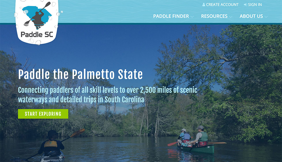
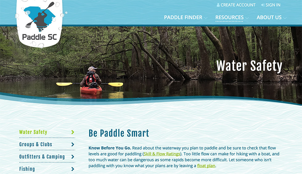
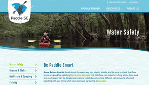
We worked with the Center for Community GIS (CGIS) to build an amazing new website that covers all of the major kayaking and canoeing trips in South Carolina. The website was designed by CGIS and Julianna Stoll, and we did all of the website development. The website is powered by BranchCMS and uses our trails app.
The administers of the website can add and edit waterways and individual padding trips along with all of the other content for the website.
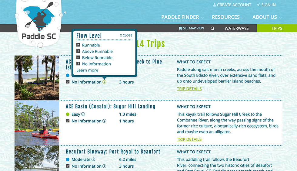
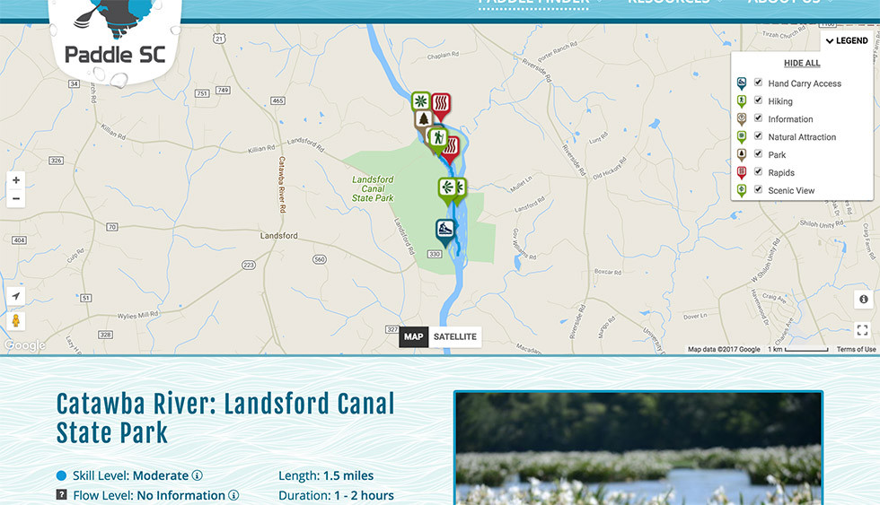
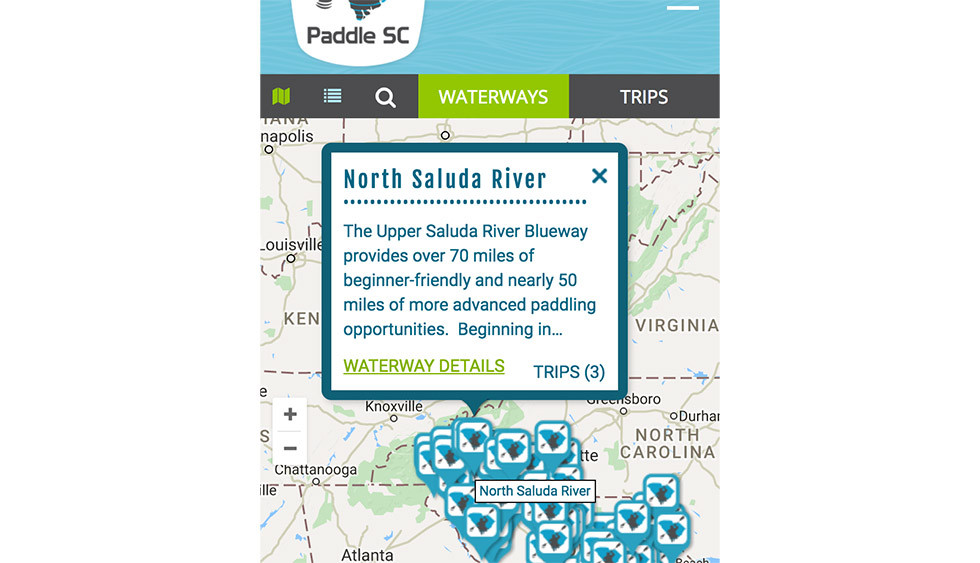
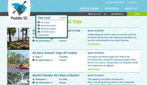
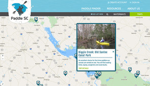
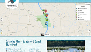
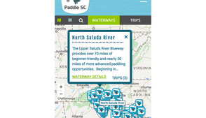
Each trip page can pull real-time USGS flow information and tidal information to provide up-to-date recommendations on the paddling conditions. Paddlers can find detailed information for each trip or waterway including skill level, length and duration, access information, photos, trip details, related trips, comments and more. Every trip and waterway page includes a full interactive map with professional GIS information to show the exact trip route, access points and other points of interest.
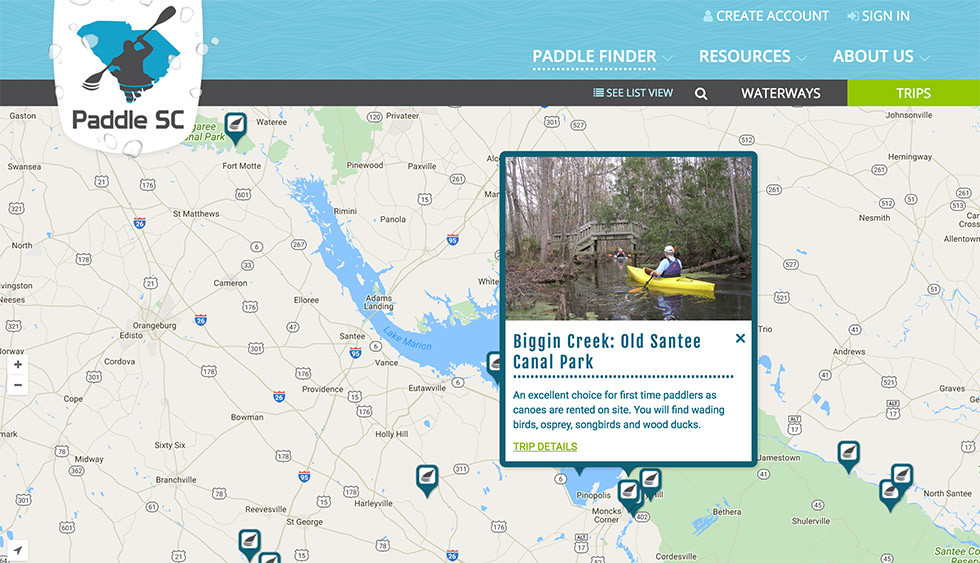
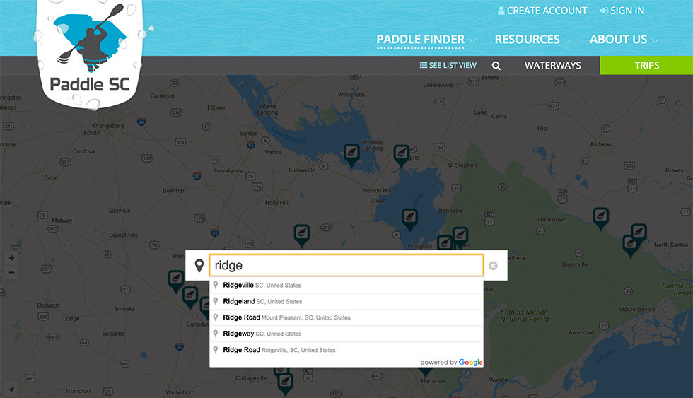
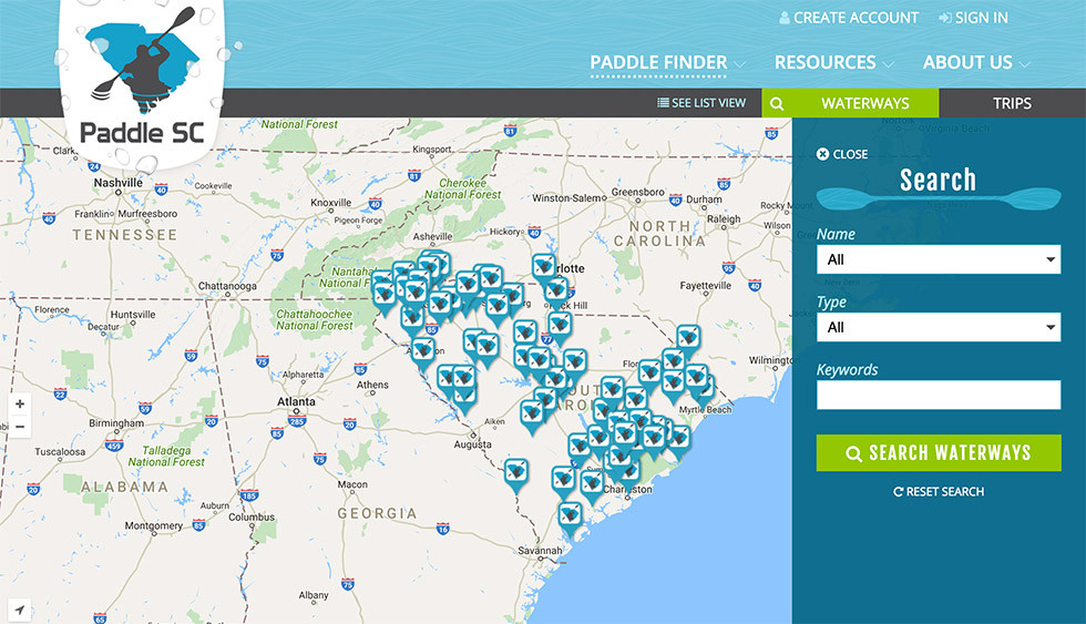
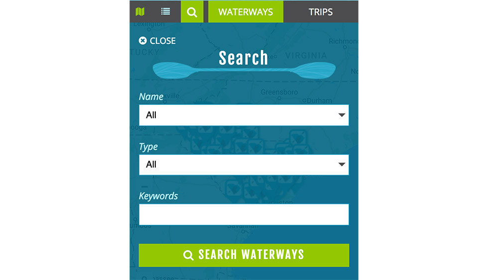
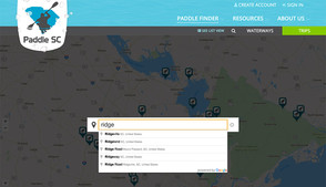
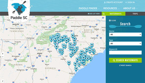
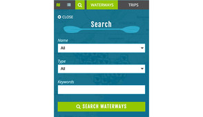
The website also features a search page for both waterways and trips that allow the visitor the ability to view them on a map or in a list. The waterways and trips can be filtered by searching by type, skill level, duration and more.
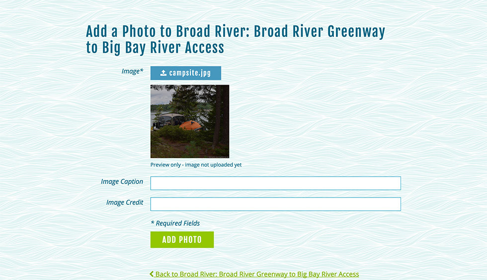
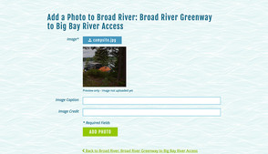
There are a lot of little interactions in the website that we feel really makes this site a joy to use. Within a day after launch people were already logging in and adding photos and comments.
Here is what one paddler had to say:
"The site is awesome! Congrats to all stakeholders. I was frustrated not to have an easy way to know where to kayak (or canoe, paddle board etc) in the Upstate SC. The problem has been solved - for the whole State of SC. We used to spend our days going to the French Broad in NC."
